Catalog Archive
Auction 108, Lot 618
"Insula de S. Lauretij", Commelin, Isaac
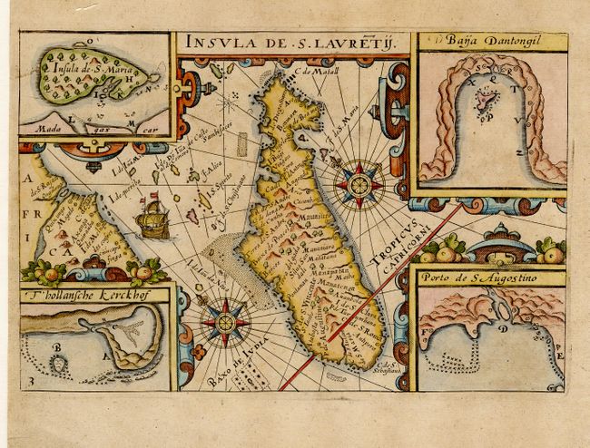
Subject: Madagascar
Period: 1646 (circa)
Publication: Begin ende Voortgangh van de Vereenighde Nederlandtsche…
Color: Hand Color
Size:
8.5 x 5.6 inches
21.6 x 14.2 cm
Download High Resolution Image
(or just click on image to launch the Zoom viewer)
(or just click on image to launch the Zoom viewer)