Catalog Archive
Auction 108, Lot 567

"Tartaria sive Magni Chami Imperium", Blaeu, (Family)

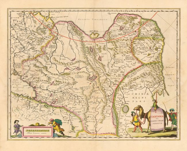
Subject: Northern Asia

Period: 1635 (circa)

Publication:

Color: Hand Color

Size:
19.5 x 15 inches
49.5 x 38.1 cm
Download High Resolution Image
(or just click on image to launch the Zoom viewer)

Blaeu's finely engraved map of Tartaria and northern China. Being one of the most remote regions of Asia, it was among the last to be properly explored and mapped. This map combines the knowledge obtained by the English and Dutch explorers as far as the Ob River with the balance of the map based on the reports of Marco Polo and the Greek classics. The deserts are filled with a wild assortment of devils and dragons, being held at bay from China by the Great Wall. Explorers flank the distance scale and the title is symbolically engraved onto the saddle blanket of a camel, representing the trade over the Silk Road.

References:

Condition: B

Lovely original color with some slightly uneven toning. Light damp stains in margins.

Estimate: $375 - $450

Sold for: $275

Closed on 9/29/2004

Archived