Catalog Archive
Auction 108, Lot 247
"Carte Reduite de l'Isle d'Antigue Dressee au Depost des Cartes Plans et Journaux de la Marine…", Bellin, Jacques Nicolas
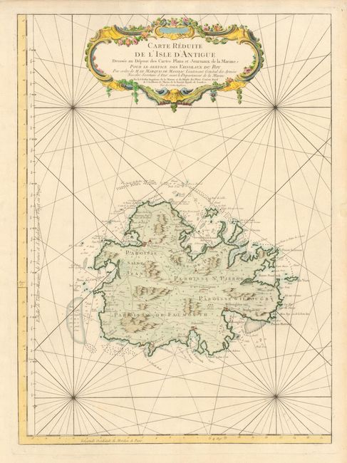
Subject: Antigua
Period: 1758 (dated)
Publication: Hydrographie Francois
Color: Hand Color
Size:
16.2 x 22.2 inches
41.1 x 56.4 cm
Download High Resolution Image
(or just click on image to launch the Zoom viewer)
(or just click on image to launch the Zoom viewer)