Catalog Archive
Auction 108, Lot 246

"Carte des Isles Antilles ou du Vent avec la Partie Orientale des Isles sous le Vent", Bachiene, Willem Albert

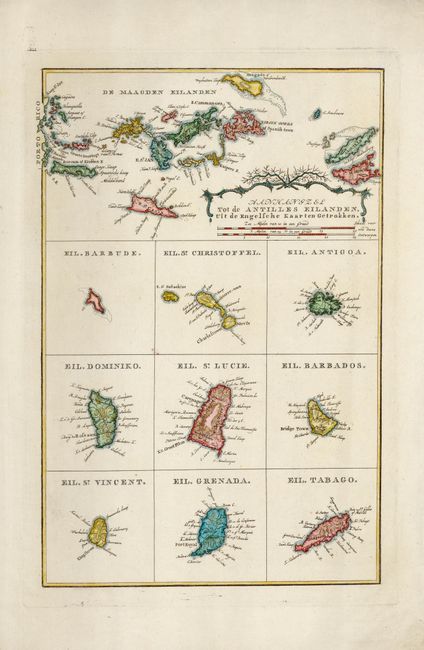
Subject: Lesser Antilles

Period: 1785 (circa)

Publication:

Color: Hand Color

Size:
8.2 x 12.5 inches
20.8 x 31.8 cm
Download High Resolution Image
(or just click on image to launch the Zoom viewer)

Seldom seen copper engraving composed of ten maps. Top map is a fine chart of the islands from Porto Rico to St. Martin. The nine small maps below include Barbados, St. Christopher, Antigua, St. Lucia, Grenada, Tobago, etc. Two distance scales and rococo-style cartouche.

References:

Condition: A

Fine impression on thick paper with wide margins and watermark. Later coloring. A trace of surface soil.

Estimate: $120 - $150

Sold for: $90

Closed on 9/29/2004

Archived