Catalog Archive
Auction 108, Lot 211
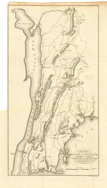
"Kaart van het Land van Frogs Point tot de Cotton Rivier voorstellende de Positien der Amerikaansche en Engelsche Armeen van den 12den October 1776 tot het gevecht op de White Plains tot den 28sten.", Marshall, John
Subject: New York
Period: 1809 (circa)
Publication: Het Leven van George Washington…
Color: Black & White
Size:
8.8 x 16 inches
22.4 x 40.6 cm
Download High Resolution Image
(or just click on image to launch the Zoom viewer)
(or just click on image to launch the Zoom viewer)