Catalog Archive
Auction 108, Lot 198

"Map of the Territory of Minnesota Exhibiting the Route of the Expedition to the Red River of the North, in the Summer of 1849", Pope, John
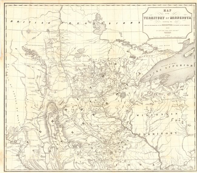
Subject: Minnesota

Period: 1849 (dated)

Publication: Senate Doc. 42, 3lst Cong. 1st Session

Color: Black & White

Size:
28 x 24.5 inches
71.1 x 62.2 cm
Download High Resolution Image
(or just click on image to launch the Zoom viewer)

A foundation map for Minnesota from Pope's Report of an Exploration of the Territory of Minnesota and based on Nicollet's earlier "Map of the Hydrographical Basin of the Upper Mississippi River." Pope has increased the coverage to include the Lake of the Woods and Canada (British Possessions), and added much new information on rivers and lakes. This is considered the first published map to show the newly formed territory by itself. Details Pope's route from Fort Snelling to the Red River and back. Proposed lines of railroad grants are noted. Terrific detail of hydrography and topography. Complete with the 55 pp. Report from the Secretary of War.

References:

Condition: A

Clean and bright with a few tissue repairs at fold intersections.

Estimate: $550 - $650

Sold for: $400

Closed on 9/29/2004

Archived