Catalog Archive
Auction 108, Lot 182

"Map of California and Nevada", Williams, J. David

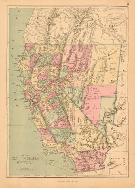
Subject: California and Nevada

Period: 1877 (circa)

Publication: People's Pictorial Atlas

Color: Hand Color

Size:
12 x 17 inches
30.5 x 43.2 cm
Download High Resolution Image
(or just click on image to launch the Zoom viewer)

Uncommon map that details the rapid development taking place throughout California. Hand colored by counties with terrific detail of towns, topography, rivers, railroads, etc. California has 37 counties with a huge San Bernardino County dominating the south. Railroads extend south to Monterey. Nevada shows early development in the Reno/Carson City corridor and only nine counties are depicted.

References:

Condition: A

Map is very good with pleasant pastel coloring. Some marginal staining at the edge, well away from map image.

Estimate: $140 - $180

Unsold

Closed on 9/29/2004

Archived