Catalog Archive


Auction 108, Lot 154
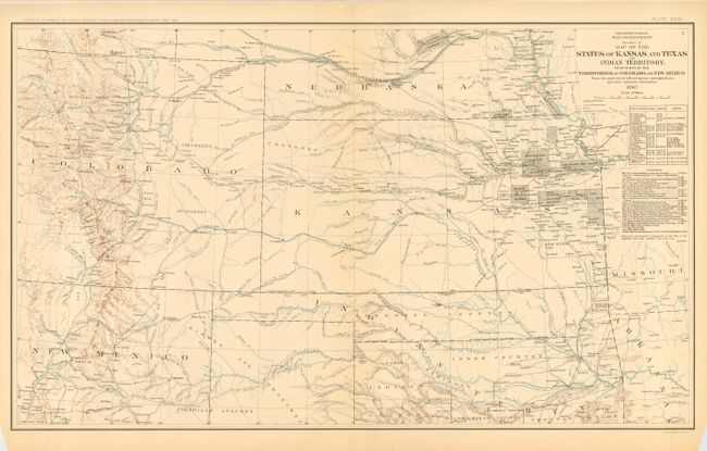
"Map of the States of Kansas and Texas and Indian Territory, with Parts of the Territories of Colorado and New Mexico", U.S. War Dept.

Subject: United States - Central
Period: 1895 (published)
Publication: Atlas to Accompany the Official Records of the Union and Confederate Armies
Color: Printed Color
Size:
27.5 x 16.5 inches
69.9 x 41.9 cm
Download High Resolution Image
(or just click on image to launch the Zoom viewer)
(or just click on image to launch the Zoom viewer)