Catalog Archive
Auction 108, Lot 132

"British North America", Hall, Sidney

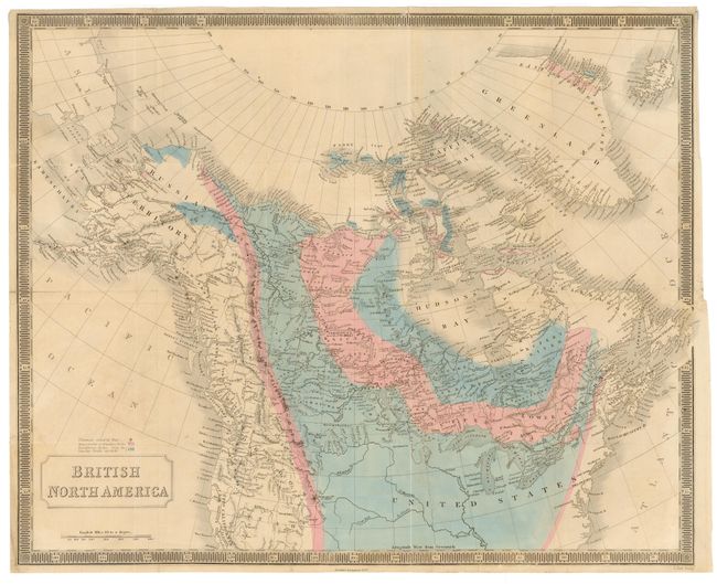
Subject: Canada and United States

Period: 1850 (circa)

Publication:

Color: Hand Color

Size:
20.2 x 16.2 inches
51.3 x 41.1 cm
Download High Resolution Image
(or just click on image to launch the Zoom viewer)

An attractive map based on Hall's earlier map of 1829-30 with full color added to reflect geological formations, volcanoes, etc. A legend explains the use of color. The geographical aspects of the map show nice place name detail and have been updated to delineate Oregon Territory [created in 1848], and Utah Territory [created in 1850]. Washington Territory [created in 1853] does not show. Folds and linen backing indicate this map was a separately issued pocket map in octavo format, rather than from the New General Atlas as normally found. Fine keyboard border.

References:

Condition: B

Good impression and original coloring. Trace of offsetting, else very good.

Estimate: $250 - $300

Sold for: $190

Closed on 9/29/2004

Archived