Catalog Archive
Auction 107, Lot 652

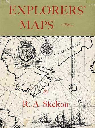
"Explorers' Maps", Skelton, R. A.

Subject: Reference Books

Period: 1970 (published)

Publication: Routledge & Kegan Paul Limited

Color:

Size:
8.7 x 11.5 inches
22.1 x 29.2 cm
Download High Resolution Image
(or just click on image to launch the Zoom viewer)

This book has a two-fold fascination: it traces the development of cartography from the maps and charts of medieval travelers, who filled the unknown areas of their maps with drawings of sea monsters and sailing ships, to the scientifically accurate and highly sophisticated charts of l8th and l9th century surveyors; and it is the story of how Europe discovered and explored the rest of the world. 337 pp., with 219 illustrations. Hard bound in white cloth with protected dust jacket. Third edition.

References:

Condition: A

Spine of dust jacket sunned.

Estimate: $60 - $80

Sold for: $45

Closed on 6/9/2004

Archived