Catalog Archive
Auction 107, Lot 446

"Asie divisee en ses principaux Etats, Empires & Royaumes", Robert de Vaugondy/Delamarche
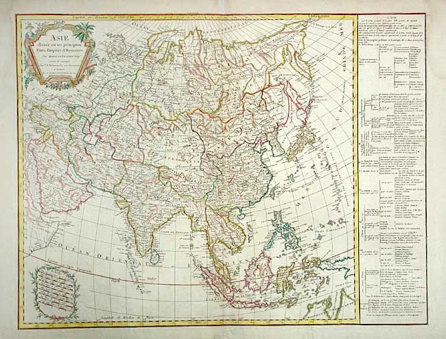
Subject: Asia

Period: 1800 (circa)

Publication:

Color: Hand Color

Size:
26 x 19.7 inches
66 x 50 cm
Download High Resolution Image
(or just click on image to launch the Zoom viewer)

A comprehensive view of Asia from Turkey and the Middle East to the Bering Strait and New Guinea in the east. Detailed depiction of Russia and the Russian and Chinese Tartaries, with their tribes marked. Tibet is labeled Etat du Delai Lama. Extensive geographical table at right. Delamarche (1740-1817), a Paris-based geographer and publisher, was successor to Didier Robert de Vaugondy after his death in 1786. This map was originally published in 1791. In this state, the date has been removed from the cartouche and the map updated to include La Perouse's discoveries north of Japan and to incorporate part of Northern Australia and the Torres Strait.

References: cf. Yeo #207.

Condition: A

Bit of very faint foxing and damp stain in blank margins. Tissue repair of short separation at bottom centerfold.

Estimate: $250 - $300

Sold for: $180

Closed on 6/9/2004

Archived