Catalog Archive
Auction 107, Lot 352
"Belgii Regii Accuratissima Tabula Pluribus Locis Recens Emen:", Wit, Frederick de
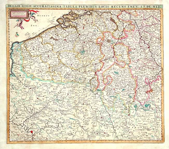
Subject: Belgium and France
Period: 1680 (circa)
Publication:
Color: Hand Color
Size:
21.5 x 18.8 inches
54.6 x 47.8 cm
Download High Resolution Image
(or just click on image to launch the Zoom viewer)
(or just click on image to launch the Zoom viewer)