Catalog Archive
Auction 107, Lot 254

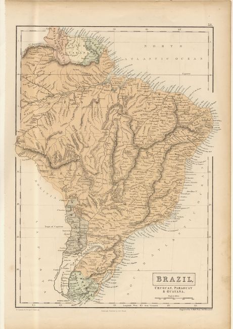
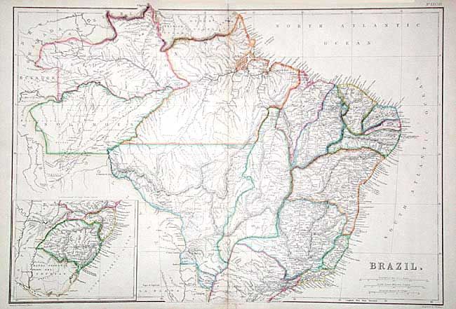
"[Lot of 2] Brazil - Uruguay, Paraguay & Guayana [with] Brazil", Various

Subject: Northern South America

Period: 1860 (circa)

Publication:

Color: Hand Color

Size:
See Description
Download High Resolution Image
(or just click on image to launch the Zoom viewer)

Pair of mid-nineteenth century maps of Brazil. First (11 x 14.7"), printed color, was engraved by Sydney Hall and published by A & C Black in the General Atlas. It is finely detailed with topography and hundreds of place names. Second (19.4 x 13.5"), in very handsome original hand coloring, was engraved by J.W. Lowry and published by Blackie & Son in the Imperial Atlas. The map is very finely engraved and detailed. It divides the country into provinces and includes an inset of the lower part of Brazil.

References:

Condition: B

Faint toning along centerfold of second and two tiny and nearly invisible pin holes in border of first.

Estimate: $80 - $100

Sold for: $95

Closed on 6/9/2004

Archived