Catalog Archive
Auction 107, Lot 179

"Colton's Louisiana", Colton, G.W. & C.B.
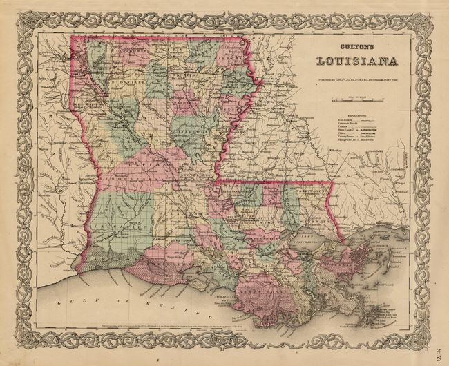
Subject: Louisiana

Period: 1855 (dated)

Publication: General Atlas

Color: Hand Color

Size:
16 x 12.7 inches
40.6 x 32.3 cm
Download High Resolution Image
(or just click on image to launch the Zoom viewer)

Detailed state and county map with railroads, roads, canals, cites and villages. Verso has two city plans: Louisville and New Orleans, all with fancy scroll-style borders. Dated 1855 but county development suggests the map was published in 1868. Grant County, added in 1869, is not present.

References:

Condition: A

Nice coloring and impression, full margins.

Estimate: $100 - $120

Sold for: $65

Closed on 6/9/2004

Archived