Catalog Archive
Auction 107, Lot 171
"[Lot of 3 - Connecticut]", Various

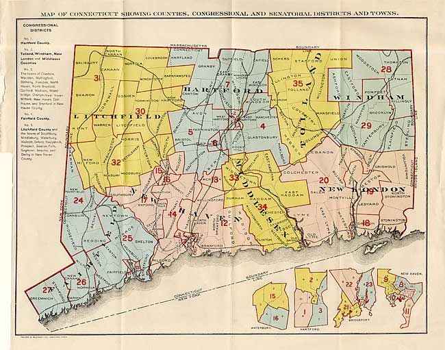
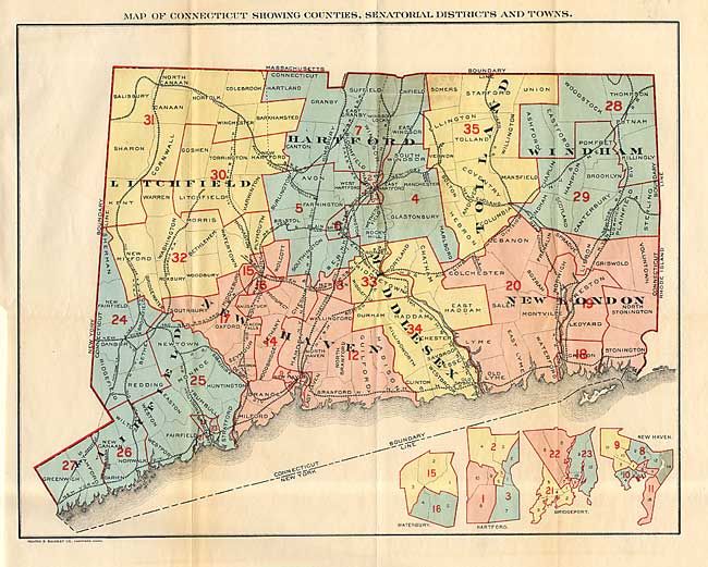
1 of 3
Subject: Connecticut
Period: 1923 (dated)
Publication:
Color: Printed Color
Size:
23.7 x 17.5 inches
60.2 x 44.5 cm
Download High Resolution Image
(or just click on image to launch the Zoom viewer)
(or just click on image to launch the Zoom viewer)