Catalog Archive
Auction 107, Lot 119
"Die Vereinigten Staaten von Nord-America", Streit, Friedrich Wilhelm
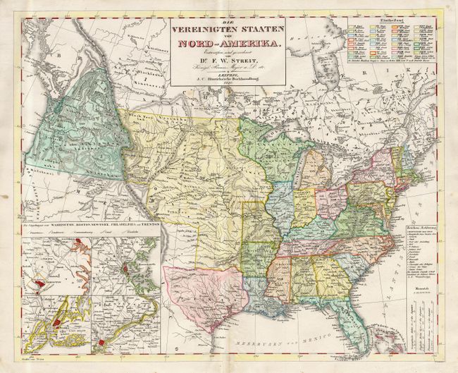
Subject: United States
Period: 1840 (dated)
Publication:
Color: Hand Color
Size:
18.5 x 15.1 inches
47 x 38.4 cm
Download High Resolution Image
(or just click on image to launch the Zoom viewer)
(or just click on image to launch the Zoom viewer)