Catalog Archive
Auction 106, Lot 632

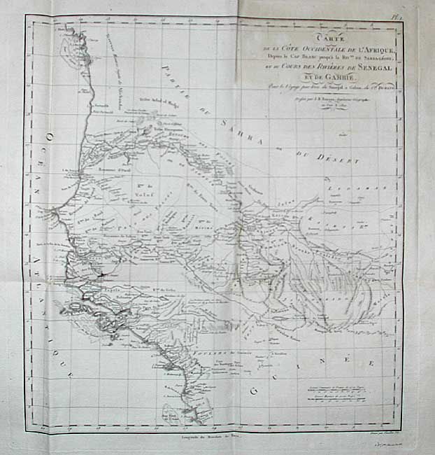
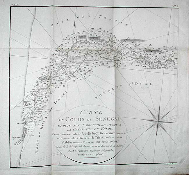
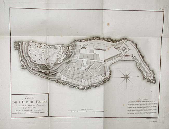
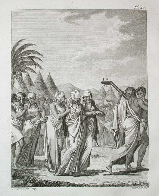
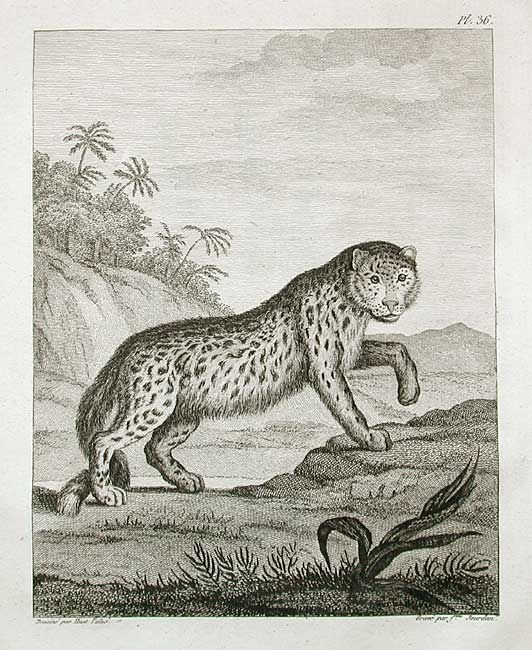
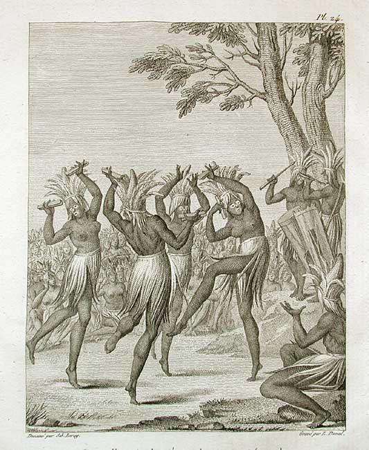
"Atlas pour Servir au Voyage du Senegal", Durand, Jean Baptiste Leonard

Subject: Atlases

Period: 1802 (dated)

Publication:

Color: Black & White

Size:
9.5 x 12.2 inches
24.1 x 31 cm
Download High Resolution Image
(or just click on image to launch the Zoom viewer)

Nice atlas of Senegal in West Africa containing 39 (of 44) copper engravings; 16 maps, portrait of Duran, and 22 engravings. Jean Baptiste Leonard Durand, director of a French trading company on the isle of St. Louis between 1785-86, compiled this information on the history, trade and commerce of the region, which was the heart of the African slave trade in the 18th century. The maps are all folding with considerable detail, drawn by J.B. Poirson and others. First is a general map of the region. Plates 2 through 7 comprise a six-sheet map of the west coast of Africa with splendid detail. Plates 8 through 11 comprise a four-sheet map of the Senegal River. The other maps are detailed plans of the vicinities of Goree and St. Louis. The engravings show a variety of customs, ceremonies, costume, flora and fauna. 67 pp. of text in French and Arabic. Atlas volume only. Lacking plates 25, 27, 31 and 34. Well-worn paper covered boards. Sold as a collection of plates.

References:

Condition: B

Only a few spots or toning on plates that are for the most part very good. Children's pencil drawing on the back of one engraving.

Estimate: $1,400 - $1,800

Sold for: $1,400

Closed on 3/3/2004

Archived