Catalog Archive
Auction 106, Lot 546

"Carte de la Partie Septentrionale de la Nouvelle Zelande", Dumont d'Urville, Jules Sebasian Cesar

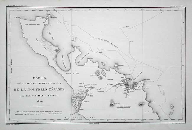
Subject: New Zealand

Period: 1831 (dated)

Publication:

Color: Black & White

Size:
18.4 x 12 inches
46.7 x 30.5 cm
Download High Resolution Image
(or just click on image to launch the Zoom viewer)

Fine early chart of the northern part of New Zealand's north island, including the Bay of Islands. It shows the 1827 track of the Astrolabe. Dumont d'Urville was a French navigator who led an important expedition to the Pacific aboard the Astrolabe (named in memory of La Perouse's flagship) and made significant contributions to the mapping of New Zealand. This chart was made in conjunction with Victor Charles Lottin.

References: Map Collector #43, pp. 22-24.

Condition: A

Estimate: $400 - $450

Sold for: $375

Closed on 3/3/2004

Archived