Catalog Archive
Auction 106, Lot 384
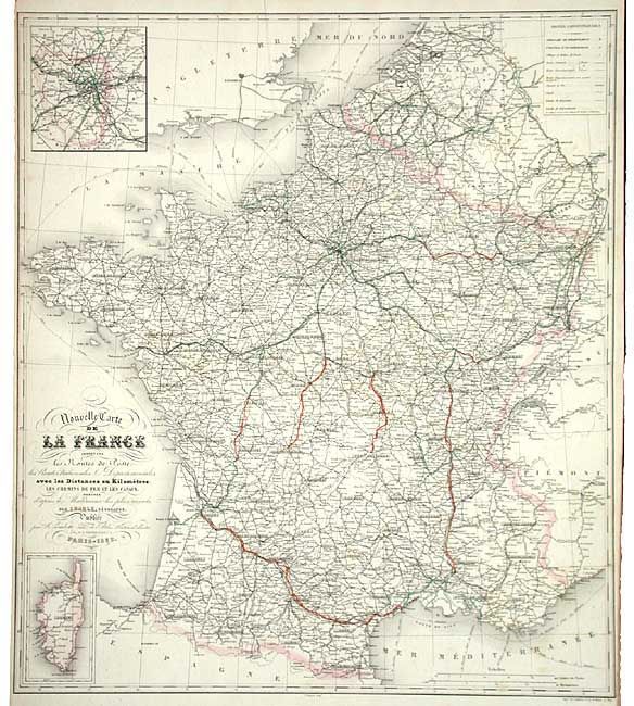
"Nouvelle Carte de la France indiquant les Routes de Poste…", Charle, J. B. L.
Subject: France
Period: 1852 (dated)
Publication: Atlas National illustre
Color: Hand Color
Size:
20 x 23 inches
50.8 x 58.4 cm
Download High Resolution Image
(or just click on image to launch the Zoom viewer)
(or just click on image to launch the Zoom viewer)