Catalog Archive
Auction 106, Lot 274
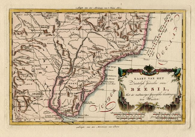
"[Pair] Kaart van het Noordlyk gedeelte van Bresil [together with] Kaart van Het Zuidelyk gedeelte van Bresil…", Bachiene, Willem Albert

1 of 2
Subject: Brazil
Period: 1785 (published)
Publication: Atlas, tot opheldering der hedendaagsche historie…
Color: Hand Color
Size:
12.5 x 8.4 inches
31.8 x 21.3 cm
Download High Resolution Image
(or just click on image to launch the Zoom viewer)
(or just click on image to launch the Zoom viewer)