Catalog Archive
Auction 106, Lot 121
"United States of America Compiled from the latest & best Authorities", Melish, John
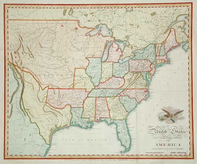
Subject: United States
Period: 1822 (dated)
Publication: The traveller's directory through the United States…
Color: Hand Color
Size:
19.5 x 15.9 inches
49.5 x 40.4 cm
Download High Resolution Image
(or just click on image to launch the Zoom viewer)
(or just click on image to launch the Zoom viewer)