Catalog Archive
Auction 106, Lot 107

"Carte des Possessions Angloises & Francoises du Continent de l'Amerique…", Ottens, Reiner and Joshua
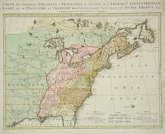
Subject: Colonial United States and Canada

Period: 1755 (dated)

Publication:

Color: Hand Color

Size:
22.2 x 16 inches
56.4 x 40.6 cm
Download High Resolution Image
(or just click on image to launch the Zoom viewer)

A Dutch version of Jean Palairet's important map showing the French and English territorial claims on the eve of the French and Indian War. The map is filled with detail of towns, forts, roads, and tribal lands. Title and notations are in both French and Dutch. Beautiful original color delineating the French and British colonies and those lands in dispute between the two powers.

References: McCorkle #755.9; Seller and Van Ee, #58.

Condition: B

Couple of old minor repairs and insignificant spots, else very good.

Estimate: $2,000 - $2,200

Sold for: $1,700

Closed on 3/3/2004

Archived