Catalog Archive
Auction 105, Lot 635

"[Lot of 3] A Book of Old Maps [together with] Maps and Their Makers [and] Decorated Printed Map of the 15th to the 18th Centuries", Various

Subject: Reference Books

Period: 1952-78 (published)

Publication:

Color:

Size:
See Description
Download High Resolution Image
(or just click on image to launch the Zoom viewer)
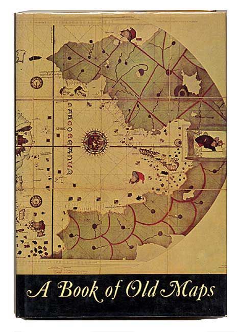
A Book of Old Maps, by Fite and Freeman, is a reprint 1926 edition. It is an excellent study of American cartographic developments in 75 selected maps made between 1474 and 1825. These maps provide a unique view of an important stage in the growth of America. Each map has an accompanying essay describing its background and historical importance. Folio, 299 pp., illustrated in b/w. (11 x 13.7") Arno Press, 1969. Hardbound with illustrated dust jacket.

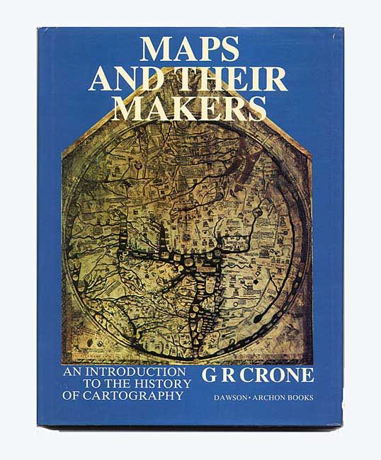
Maps and Their Makers, by G.R. Crone, 1978, is a scholarly introduction to the history of cartography by the librarian and map curator of the Royal Geographical Society between 1934 and 1966. Extensively illustrated, 152 pp. Hardbound in blue cloth in dust jacket. (8.5 x 11")

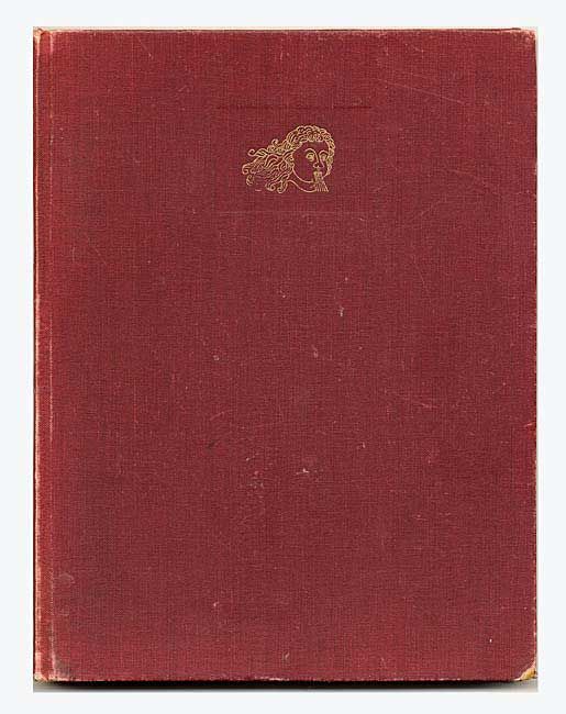
Decorative Printed Maps of the 15th to 18th Centuries by R. A. Skelton, 1952. This is a revised edition of "Old Decorative Maps and Charts" by A.L. Humphreys. Mr. Skelton was the Superintendent of the Map Room at the British Museum when he published this work. 84 images in color and b/w, 80 text pages. (9.7 12.5") Hard bound in red cloth, titled in gilt on spine, lacking dust jacket.

References:

Condition:

First with edges soiled, else fine; second fine; third good with cloth starting on spine and corners rubbed.

Estimate: $150 - $180

Sold for: $130

Closed on 12/3/2003

Archived