Catalog Archive
Auction 105, Lot 232

"Hispania III Nova Tabula", Munster, Sebastian
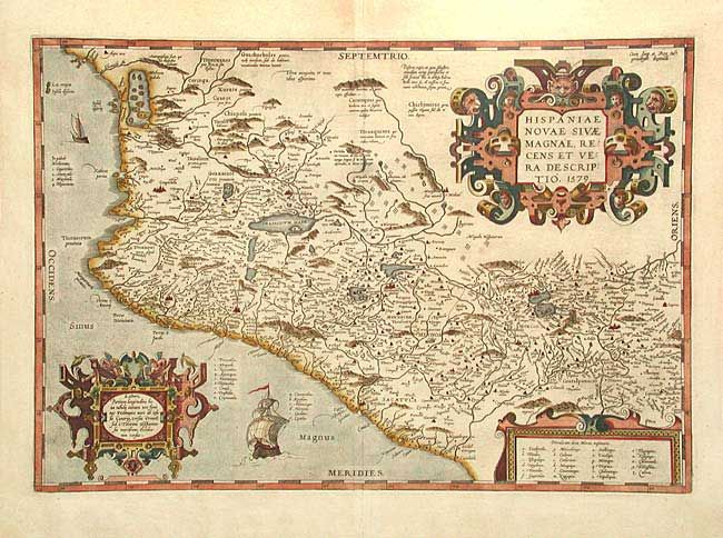
Subject: Mexico

Period: 1579 (dated)

Publication: Theatrum Orbis Terrarum

Color: Hand Color

Size:
19.6 x 13.6 inches
49.8 x 34.5 cm
Download High Resolution Image
(or just click on image to launch the Zoom viewer)

Important map of the central and western coastal regions of Mexico. This is a cornerstone map of New Spain, and the prototype for most maps of the early 17th century. It covers the Pacific coast from present-day Acapulco to about Mazatlan and inland to Mexico City, which is situated on a large lake. Several gold and silver mines are located in the central region. The map is beautifully embellished with three fine strapwork cartouches and two Spanish galleons. Latin text and page number 7 on verso indicate it was published between 1592 and 1612.

References: Wagner #119, Van den Broecke #13.

Condition: A

Early impression and lovely coloring with full margins. A trace of surface soiling.

Estimate: $800 - $1,000

Sold for: $550

Closed on 12/3/2003

Archived