Catalog Archive
Auction 105, Lot 224

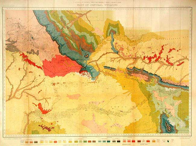
"U.S. Geological and Geographical Survey of the Territories … Part of Central Wyoming", U.S. Geographical Survey

Subject: Wyoming

Period: 1877 (dated)

Publication:

Color: Printed Color

Size:
33.5 x 22.7 inches
85.1 x 57.7 cm
Download High Resolution Image
(or just click on image to launch the Zoom viewer)

This striking map covers an area south of the Shoshone Wind River Reservation. It is a classic geological map that was surveyed by Ferdinand Hayden in 1877. Also contains considerable geographic detail. Sweetwater River traverses east to west at center. Shows old wagon roads, Indian trails and the route of the Union Pacific RR. A color code provides the key to the 32 different geologic formations.

References:

Condition: A

Issued folding, now backed with archival tissue. Lightly toned along one fold.

Estimate: $120 - $160

Sold for: $150

Closed on 12/3/2003

Archived