Catalog Archive
Auction 105, Lot 185
"Neueste Karte von Kentucky mit seinen Strassen, Entfernungen der Hauptpunkte & Routen fur Dampfschiffe", Meyer, Joseph
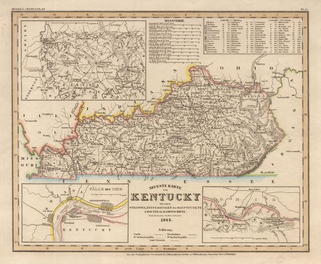
Subject: Kentucky
Period: 1845 (dated)
Publication: Handatlas
Color: Hand Color
Size:
14.5 x 11.7 inches
36.8 x 29.7 cm
Download High Resolution Image
(or just click on image to launch the Zoom viewer)
(or just click on image to launch the Zoom viewer)