Catalog Archive
Auction 105, Lot 139

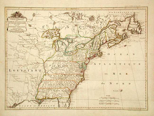
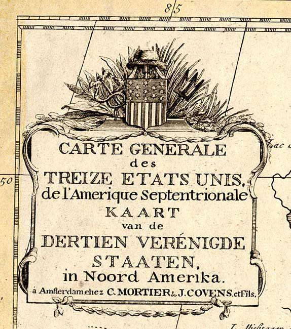
"Carte Generale des Treize Etats Unis, de l'Amerique Septentrionale / Kaart van de Dertien Verenigde Staaten in Noord Amerika", Covens & Mortier

Subject: Eastern United States

Period: 1785 (circa)

Publication: Niewe Atlas

Color: Hand Color

Size:
22.5 x 16.2 inches
57.2 x 41.1 cm
Download High Resolution Image
(or just click on image to launch the Zoom viewer)

A very uncommon and handsome map depicting the recently formed United States. The title cartouche refers to the thirteen United States in both French and Dutch and is decorated by an American flag with thirteen stars; thus this is one of the earliest maps displaying the stars and strips. The area mapped is from James Bay to the Gulf of Mexico and from the Atlantic coast to central Texas. There is a fascinating road running from Port Royal along the coast to Fort George, near Penobscot Bay. Roads are not generally shown on a map of this scale at this time, making that quite unusual. Many towns, rivers and other landmarks are located, as well as Native American tribes and state boundaries, which extend to the Mississippi River. It has been speculated that Reiner & Joshua Ottens originally made the plate for this map in 1755 under the title "Carte des possessions Angloises & Francoises du continent de l'Amerique Septentrionale". It was then acquired by Covens & Mortier and reworked to show the newly formed states and may have appeared as early as 1783.

References: McCorkle #785.3; Sellers & Van Ee #760.

Condition: A

On thick hand laid paper with watermark and original outline coloring. Full margins with very slight surface soil.

Estimate: $3,000 - $4,000

Unsold

Closed on 12/3/2003

Archived