Catalog Archive
Auction 105, Lot 125

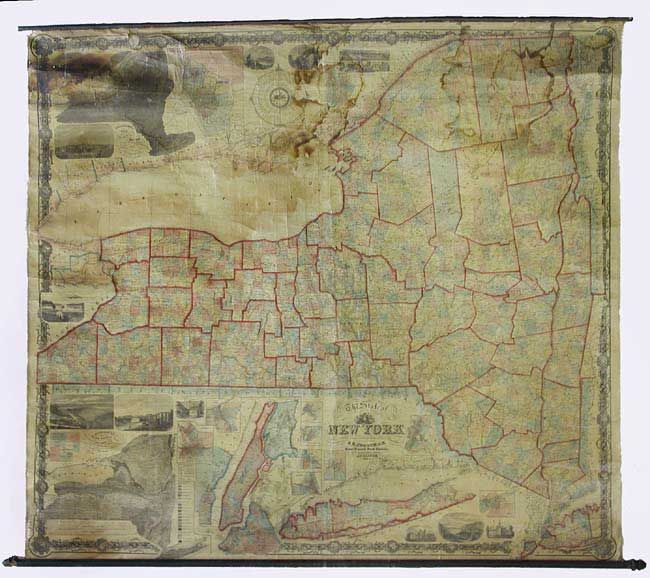
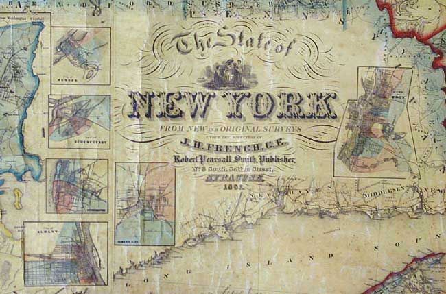
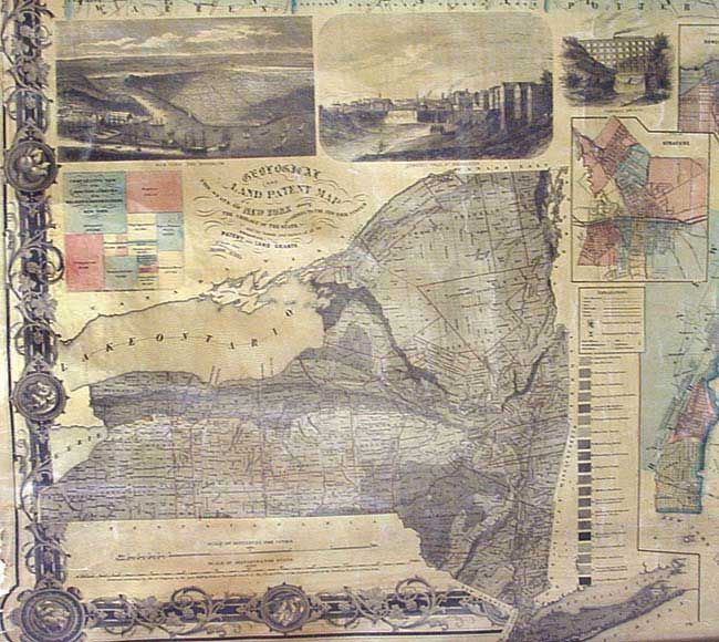
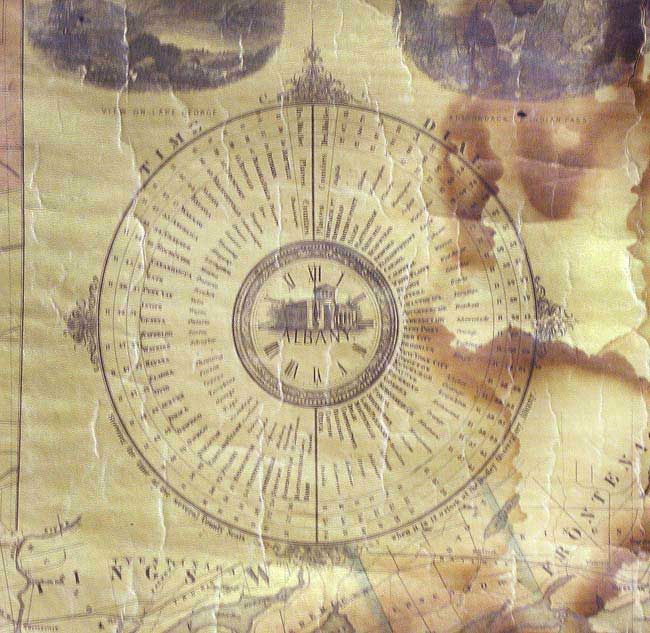
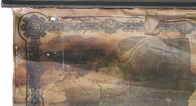
"The British possessions in North America from the latest Authorites", Carey, Mathew

Subject: Canada & United States

Period: 1814 (dated)

Publication: General Atlas

Color: Hand Color

Size:
17 x 14.6 inches
43.2 x 37.1 cm
Download High Resolution Image
(or just click on image to launch the Zoom viewer)

Well-engraved chart of eastern Canada with modest detail. Extends west to include Great Slave Lake and north into Baffin's Bay and much of Greenland. Shows the St. Lawrence waterway, the Great Lakes and delineates the North West Territory in the United States.

References:

Condition: B

Scattered foxing and a printer crease at lower center. Two corners of margin professionally replaced.

Estimate: $120 - $150

Sold for: $110

Closed on 12/3/2003

Archived