Catalog Archive
Auction 105, Lot 123

"Karte des Nordens von America…", Forster, Georg

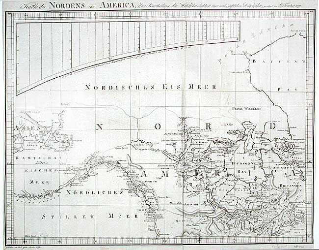
Subject: Canada & United States

Period: 1791 (dated)

Publication: Geschichte der Reisen, die seit Cook…

Color: Black & White

Size:
25.4 x 19 inches
64.5 x 48.3 cm
Download High Resolution Image
(or just click on image to launch the Zoom viewer)

Very nicely engraved map that incorporates the recent discoveries by Capt. Cook. Covers all of Canada, Alaska and south to Cape Mendocino and Long Island. Shows all of the Great Lakes, Baffin and Hudson Bays, the Aleutians, and the Bering Strait. The northern coastline is indistinct with only a short portion at the Coppermine River delineated. Details include Indian nations, major cities, watershed and topography. A very rarely seen map from Forster's Geschichte der Reisen, die seit Cook an der Nordwest- und Nordost-Küste von Amerika und in dem nördlichen Amerika selbst von Meares, Dixon, Portlock, Coxe, Long.

References:

Condition: A

Dark impression. Remarkable bull elephant watermark. A couple of spots, still very good.

Estimate: $650 - $750

Sold for: $375

Closed on 12/3/2003

Archived