Catalog Archive
Auction 104, Lot 738

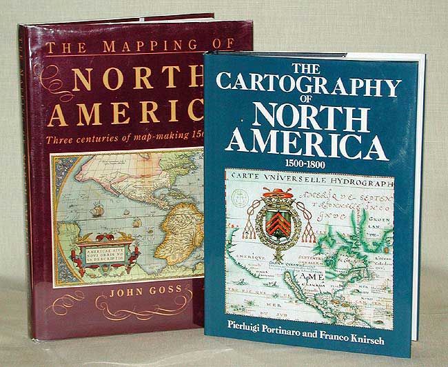
"[Lot of 2] The Cartography of North America 1500-1800 [together with] The Mapping of North America", Various

Subject: Cartographic Reference

Period: 1987-90 (published)

Publication:

Color:

Size:
9.7 x 13 inches
24.6 x 33 cm
Download High Resolution Image
(or just click on image to launch the Zoom viewer)

The Cartography of North America, by Portinaro and Knirsch is a nicely illustrated cartographic reference with biographical sketches of major cartographers. It presents reproductions of authentic maps from the first three centuries of the mapping of North America reflecting an unfolding story of daring exploration, tenacious settlement, and fierce colonial rivalry. 320 pp. containing 180 extensively captioned maps, nearly all in full-color and over 90 supplementary illustrations. Published by Chartwell Books, Edison NJ, 1987. Hardbound in blue cloth with dust jacket. The Mapping of North America - Three centuries of map-making 1500-1860, by John Goss is an indispensable cartographic reference work for North American maps. Each of the 410 maps is discussed in great detail with a description of both its publication and background history, including those of the cartographers and publishers. All maps are illustrated (11 in full color), 568 pp. Published by Wellfleet Press, Secaucus, 1990. Hardbound red buckram, with illustrated dust jacket in protective Mylar sleeve.

References:

Condition: A+

Estimate: $80 - $120

Sold for: $70

Closed on 9/10/2003

Archived