Catalog Archive
Auction 104, Lot 717

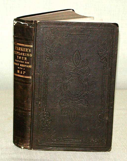
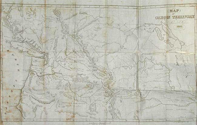
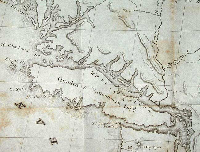
"Journal of an Exploring Tour Beyond the Rocky Mountains … with a Map of Oregon Territory", Parker, Samuel (Rev.)

Subject: Exploration and Surveys

Period: 1844 (published)

Publication:

Color: Black & White

Size:
5 x 8 inches
12.7 x 20.3 cm
Download High Resolution Image
(or just click on image to launch the Zoom viewer)

Describes a tour covering an extensive area and provided important information on several subjects: American Fur Company; Oregon Territory; Hudson Bay Company; Presbyterian missionary; Nez Perce, Calapooa, Chenook, Klicatat, La Dalles, and Paloose Indians; overland journals; surgery on Jim Bridger; Sandwich Islands and much more. The folding map titled Map of Oregon Territory, 1833 and the wood engraving of the Basaltic Formations on the Columbia River are present. The map (22.5"x14") is scarce and according to Wheat is the earliest accurate map of the Pacific Northwest. Original brown embossed cloth with gilt title on spine. Fourth edition, 416 pp. An important book and map, well deserving of conservation and rebinding.

References:

Condition: B

Map has 2" tear at the binding side. Map and some text with scattered foxing. Covers a little bumped and top of spine chipped, otherwise very good condition.

Estimate: $300 - $350

Sold for: $350

Closed on 9/10/2003

Archived