Catalog Archive
Auction 104, Lot 710

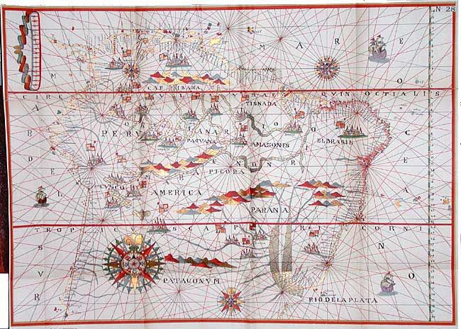
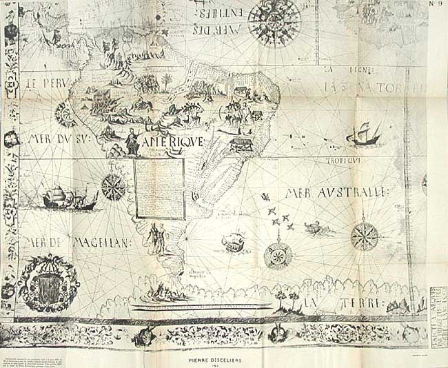
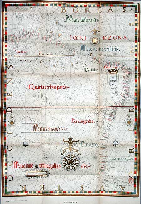
"[Lot of 3] Frontieres Entre le Bresil et la Guyane Francaise Atlas Contenant un Choix de Cartes, Tome IV",

Subject: Atlases

Period: 1900 (published)

Publication: A. Lahure, Imprimeur - Editeur

Color:

Size:
7 x 9.5 inches
17.8 x 24.1 cm
Download High Resolution Image
(or just click on image to launch the Zoom viewer)

Parts 1-3, of Tome IV, containing 30 of the 91 maps contained in this report. This rare and unusual atlas comprises reproductions of the some of most important maps in South American history. They were compiled to accompany a report to the Swiss government in the arbitration of the boundary dispute between Brazil and French Guyana in 1897. Some of the maps are reproduced in beautiful color with gold highlights. Beginning with the manuscript map of Juan de la Coas, 1500 and concluding with Jan van Doet's map of 1585. Maps are all backed with heavy linen. Original bindings, quarter morocco over marbled-paper boards. Ex-libris with ink library stamps to endpapers and labels on spines.

References:

Condition: B

Covers worn with some chipping on spines. Folding index to maps completely split on fold. Maps generally very good with mild foxing to linen backing and a few splits at fold intersections.

Estimate: $350 - $500

Sold for: $180

Closed on 9/10/2003

Archived