Catalog Archive
Auction 104, Lot 69
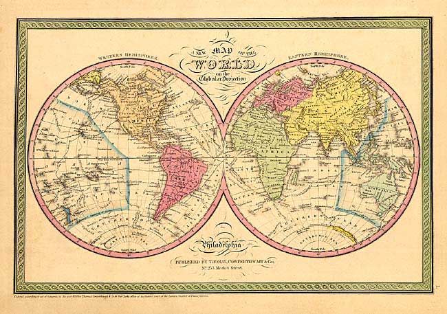
"[Lot of 22]", Thomas, Cowperthwait & Co.
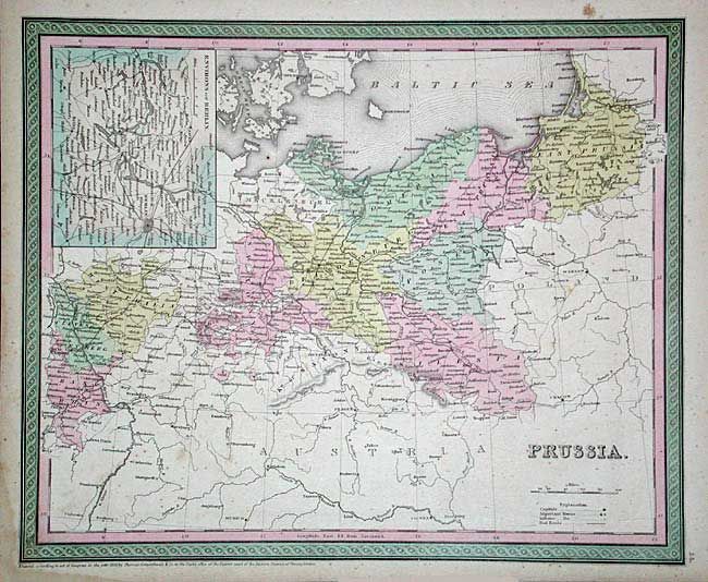
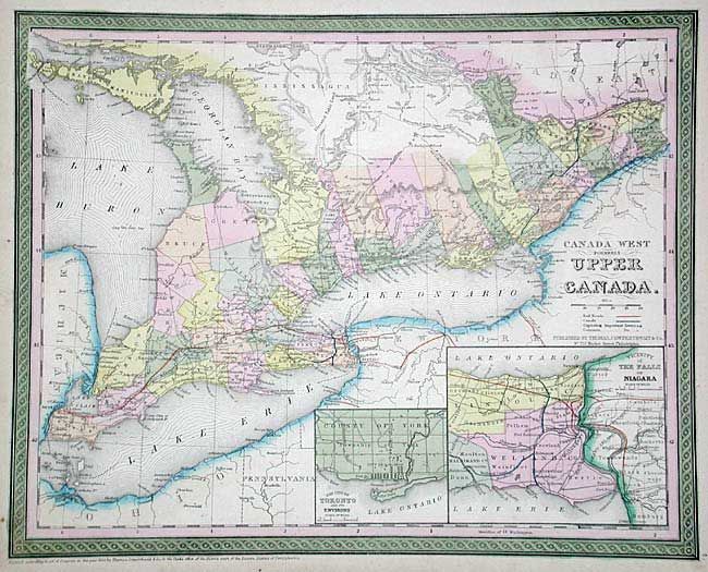
1 of 6
Subject: World - Miscellaneous
Period: 1852 (published)
Publication: New Universal Atlas
Color: Hand Color
Size:
15.5 x 12.5 inches
39.4 x 31.8 cm
Download High Resolution Image
(or just click on image to launch the Zoom viewer)
(or just click on image to launch the Zoom viewer)