Catalog Archive
Auction 104, Lot 622
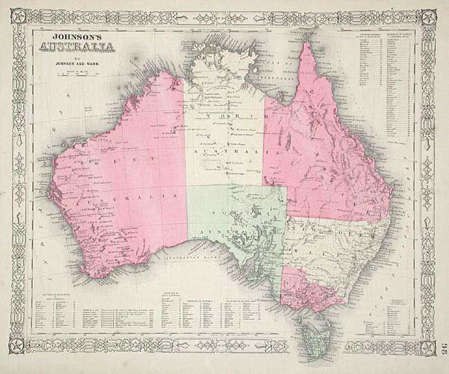
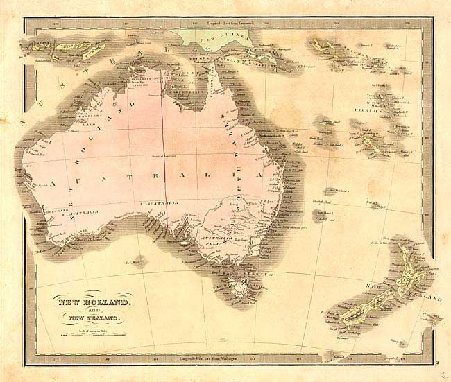
"[Lot of 2] New Holland And New Zealand [together with] Johnson's Australia", Various
1 of 2
Subject: Australia
Period: 1842-63 (circa)
Publication:
Color: Hand Color
Size:
See Description
Download High Resolution Image
(or just click on image to launch the Zoom viewer)
(or just click on image to launch the Zoom viewer)