Catalog Archive
Auction 104, Lot 53

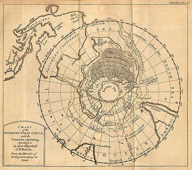
"Chart of the Antarctic Polar Circle, with the Countries adjoining, According to the New Hypothesis of M. Buache", Anon.

Subject: South Pole

Period: 1763 (published)

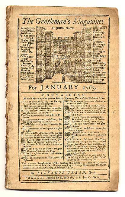
Publication: Gentleman's Magazine

Color: Black & White

Size:
8.8 x 7.6 inches
22.4 x 19.3 cm
Download High Resolution Image
(or just click on image to launch the Zoom viewer)

A circular polar projection including part of southern South America, South Africa and all of Australia (with Tasmania and New Guinea attached to the mainland). New Zealand is connected to the southern continent. The map provides a fascinating glimpse into Bauche's imaginative cartographic theories. Many notations including: "C. of the Terra Australis according to Delisle," "Ice seen by M. Bouvet in 1738," several additional "Ice seen by..." comments, "Disgorgement of the Ice" and more. Still bound in the original and complete Jan. 1763 issue (48 pp.) with related article.

References: Jolly GENT-166.

Condition: B

On fine, thick paper. Evenly toned with trace of offsetting.

Estimate: $150 - $200

Sold for: $110

Closed on 9/10/2003

Archived