Catalog Archive
Auction 104, Lot 459

"Land-Charte des Chur-Furstenthums Brandenburg", Covens & Mortier
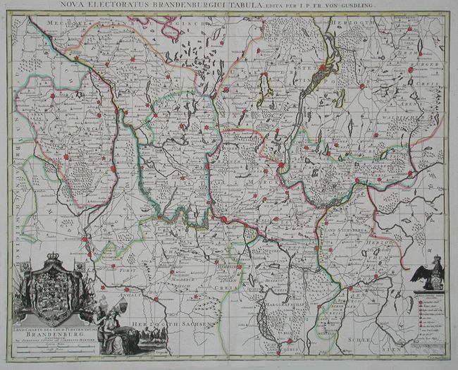
Subject: Germany

Period: 1730 (circa)

Publication:

Color: Hand Color

Size:
23.5 x 19.8 inches
59.7 x 50.3 cm
Download High Resolution Image
(or just click on image to launch the Zoom viewer)

After von Gundling, this was the most accurate map of the region at the time. Centered on Berlin, the map also includes the walled cities of Saltzwedel, Magdenburg, Wittenberg, Crossen, Driesen, Bramburg, Konigsberg, and many more. Very decorative cartouche features a beautifully rendered Crest of Brandenburg. Engraved by G.P. Busch.

References:

Condition: A

Good impression with original color on thick paper. Lightly toned along centerfold, some light offsetting, still very good.

Estimate: $600 - $800

Sold for: $500

Closed on 9/10/2003

Archived