Catalog Archive
Auction 104, Lot 434

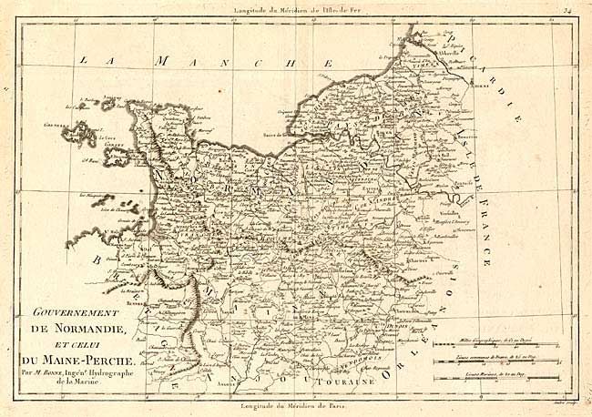
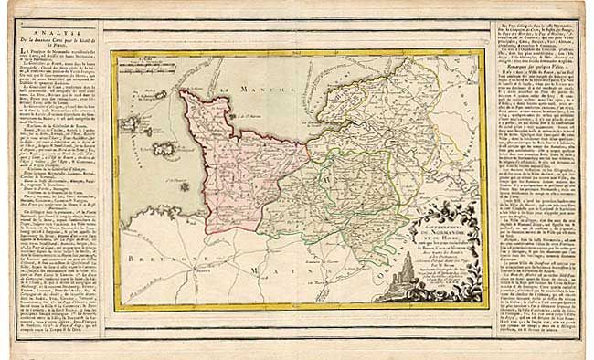
"[Lot of 2] Gouvernement de Normandie et celui du Maine-Perche [and] Gouvernemens de Normandie et du Havre", Various

Subject: France

Period: 1769-74 (circa)

Publication:

Color:

Size:
See Description
Download High Resolution Image
(or just click on image to launch the Zoom viewer)

Pair of French maps of Normandy. 1) Gouvernement de Normandie et celui du Maine-Perche, by R. Bonne, circa 1784, BW (13.5 x 9.2") is a detailed map of Normandy extending to include Maine, Perche and the Channel Islands. 2) Gouvernemens de Normandie et du Havre, by Brion de la Tour, 1769, from Louis Charles Desnos's Atlas Général et Élémentaire, full original color (13 x 9") covers much the same region with less detail, a decorative title cartouche and panels of French text.

References:

Condition: A

Estimate: $250 - $300

Sold for: $180

Closed on 9/10/2003

Archived