Catalog Archive
Auction 104, Lot 429

"Carte de la Beauce du Gatinois de la Sologne et Pays Voisins Compris dans la Generalite d'Orleans…", Delisle/Covens & Mortier
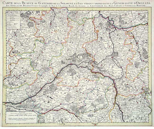
Subject: France

Period: 1730 (circa)

Publication:

Color: Hand Color

Size:
24.2 x 19.2 inches
61.5 x 48.8 cm
Download High Resolution Image
(or just click on image to launch the Zoom viewer)

Beautifully engraved chart centered on Orleans. Amazing detail with hundreds of villages and over 50 walled cities located. Details the flow of the Loire and Allier rivers. Includes the region between Tours, Bouges, Chatel Cesoi, Nogent, Provins, Corbeil, Nogent and S. Calais.

References:

Condition: B

Dark impression with original coloring on thick paper. Short split at lower centerfold and small dark spot in map, else very good.

Estimate: $200 - $250

Sold for: $100

Closed on 9/10/2003

Archived