Catalog Archive
Auction 104, Lot 406
"A Map of Flanders & other Provinces of the Netherlands with part of England, Holland, France, &c., exhibiting a full view of ye Seat of War nth. The Towns & Rivers mentioned in ye Actions & Encampments", Dubosc, Claude
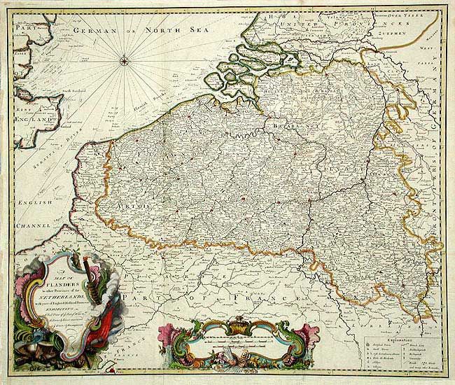
Subject: The Netherlands & Belgium
Period: 1735 (circa)
Publication: Military History
Color: Hand Color
Size:
23.2 x 19.5 inches
58.9 x 49.5 cm
Download High Resolution Image
(or just click on image to launch the Zoom viewer)
(or just click on image to launch the Zoom viewer)