Catalog Archive
Auction 104, Lot 377

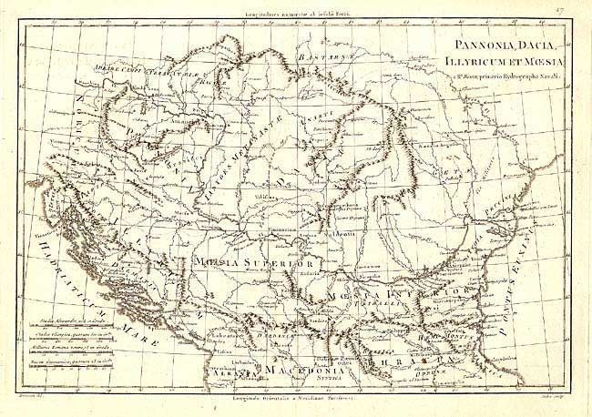
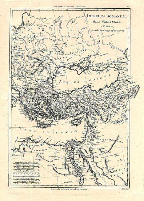
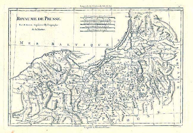
"[Lot of 9]", Bonne, Rigobert

Subject: Eastern Europe

Period: 1780 (circa)

Publication: Atlas Encyclopedique

Color: Black & White

Size:
13.5 x 9.2 inches
34.3 x 23.4 cm
Download High Resolution Image
(or just click on image to launch the Zoom viewer)

Nice group of maps covering Eastern Europe and the Mediterranean. 1) Royaume de Prusse is of Prussia from the Baltic Sea to Lithuania and Poland. 2) Royaume du Pologne et Duche de Lithuanie depicts Prussia, Lithuania and Poland. 3) Royaume du Hongrie et Pays Adjacents is a regional map of Hungary, Transylvania and Croatia bordered by Silesia, Moravia, Austria, Serbia, Bosnia and Moldavia. 4) Royaume de Boheme et Marquisat de Lusace depicts what is now a portion of Czechoslovakia and Germany. 5) Duche de Silesie et Marquisat de Moravie portrays the region that is now part of Poland and Czechoslovakia. 6) Imperium Romanum pars Orientalis covers the eastern portion of the Roman Empire with primarily Latin place names. 7) Imperii Romani Distracta pars Orientalis features the eastern portion of the Roman Empire as well, but with Greek and Arabic names. 8) Pannonia, Dacia, Illyricum et Moesia depicts the Balkan region between the Adriatic and Black seas during ancient times. Includes Dalmatia, Serbia. Albania and Romania. 9) Graecia Vetus depicts ancient Greece from the boot of Italy to Asia Minor.

References:

Condition: A

Most maps fine with a few minor defects in the generous, blank margins.

Estimate: $200 - $300

Sold for: $250

Closed on 9/10/2003

Archived