Catalog Archive
Auction 104, Lot 338
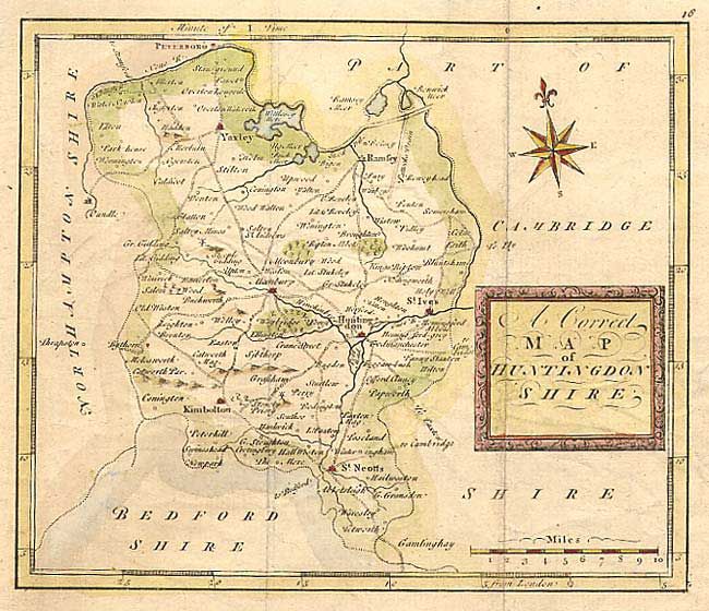
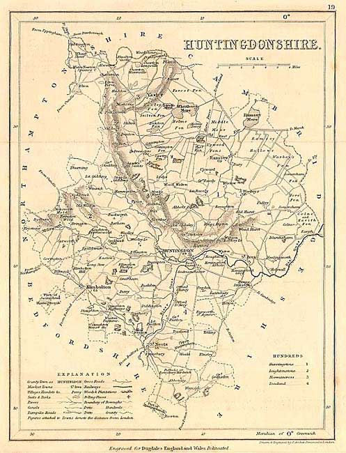
"[Lot of 2] A Correct Map of Huntingdonshire [together with] Huntingdonshire", Various
1 of 2
Subject: England
Period: 1750-1845 (circa)
Publication:
Color:
Size:
See Description
Download High Resolution Image
(or just click on image to launch the Zoom viewer)
(or just click on image to launch the Zoom viewer)