Catalog Archive
Auction 104, Lot 331

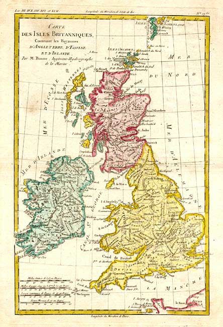
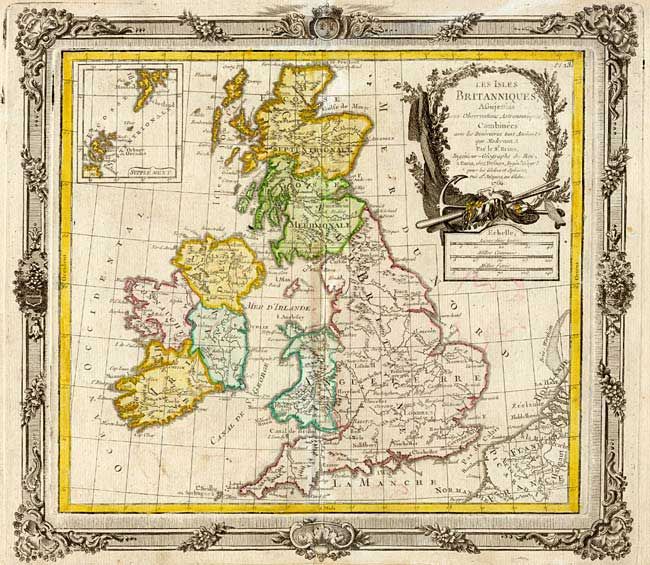
"[Lot of 2] Les Isles Britanniques… [together with] Carte des Isles Britanniques, Contenant les Royaumes d' Angleterre, d'Ecosse et d'Irlande", Various

Subject: Britain

Period: 1766-80 (circa)

Publication:

Color: Hand Color

Size:
See Description
Download High Resolution Image
(or just click on image to launch the Zoom viewer)

Nice pair of French 18th century maps of Britain. Les Isles Britanniques..…, by Brion de la Tour, from Desnos' Atlas Géneral, Civil et Ecclésiastique, 1766 (12.5 x 11"), includes an inset of the northern part of Scotland. It is embellished with an uncolored title cartouche and a decorative border. Carte des Isles Britanniques…, by R. Bonne, circa 1780 (8 x 12.2") is presented without decoration.

References:

Condition: B

Light soiling and a couple of tiny wormholes.

Estimate: $200 - $250

Unsold

Closed on 9/10/2003

Archived