Catalog Archive
Auction 104, Lot 321

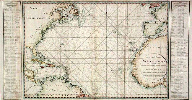
"Carte Generale de l'Ocean Atlantique ou Occidental, Dressee au Depot general des Cartes Plans et Journaux de la Marine…", Depot de la Marine
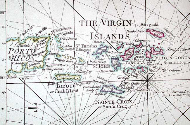
Subject: North Atlantic

Period: 1786 (dated)

Publication:

Color: Hand Color

Size:
44 x 23.6 inches
111.8 x 59.9 cm
Download High Resolution Image
(or just click on image to launch the Zoom viewer)

Very large chart of the North Atlantic that shows the northeast coast of America from Newfoundland to Florida, all of the West Indies and the northern tip of South America into Brazil. On the European side the chart begins in the south of England and extends through France, Spain, the Straits of Gibraltar, much of the Mediterranean and continues down the coast of Africa to below the Cote d'Or. Good detail of the Azores, Canary and Cape Verde islands. Several fleur-de-lis and filled with rhumblines. Detailed tables of Latitude and Longitude on either side of the chart.

References:

Condition: B

Excellent impression and original color. Small area of damage at lower center with old repair. A few soft folds and scattered soiling.

Estimate: $600 - $700

Sold for: $450

Closed on 9/10/2003

Archived