Catalog Archive
Auction 104, Lot 188

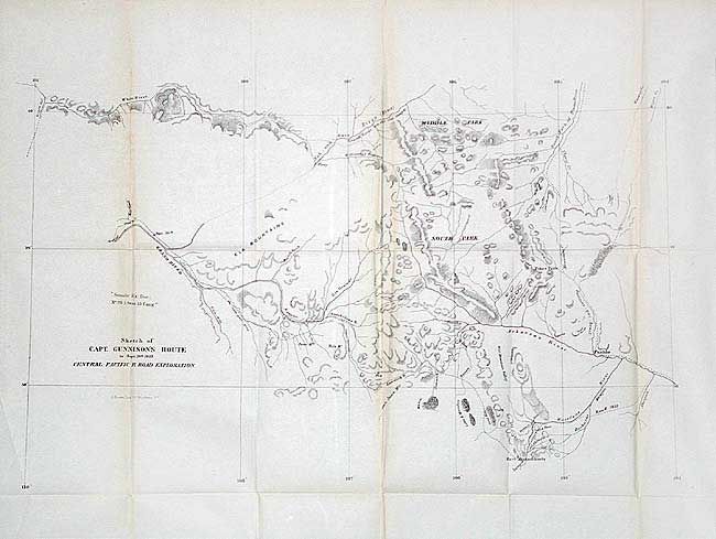
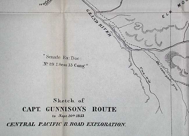
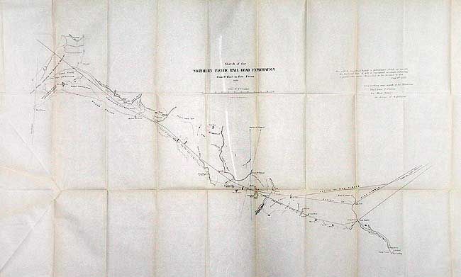
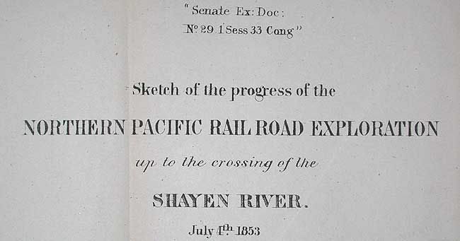
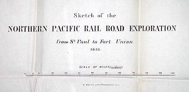
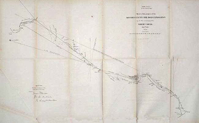
"[Lot of 3 - Pacific Rail Road]", U.S. Railroad Surveys

Subject: United States - Western

Period: 1853 (dated)

Publication: Senate ex Doc. 29, 33rd Cong., 1st Session

Color: Black & White

Size:
See Description
Download High Resolution Image
(or just click on image to launch the Zoom viewer)

1) Sketch of Capt. Gunnison's Route to Central Pacific Rail Road Exploration Sept. 20th 1853, (20.5 x 13"). Indians killed Gunnison and Lt. Beckwith completed the survey. This is a great early map of present-day Colorado. It depicts several exploratory routes in the Rocky Mts. 2) Sketch of the Northern Pacific Rail Road Exploration from St. Paul to Fort Union, by Isaac Stevens, 1853, (32 x 17"). This map shows Stevens' route and the route of Lt. Grover from Pike Lake to Ft. Union. 3) Sketch of the progress of the Northern Pacific Rail Road Exploration up to the crossing of the Shayen River, by Isaac Stevens, 1853, (25 x 15.5"). Includes a lower route from White Bear Lake to Shayen, the Red River Trail. Wheat notes that these three maps are earlier versions of the maps contained in the quarto version of the Pacific Railroad Surveys and Explorations.

References: Wheat (TMW) #861 & 842.

Condition: B

All in near very good condition with toning along some folds. Long split in #3, closed with archival tape.

Estimate: $300 - $400

Sold for: $220

Closed on 9/10/2003

Archived