Catalog Archive
Auction 104, Lot 182

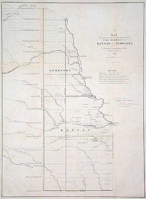
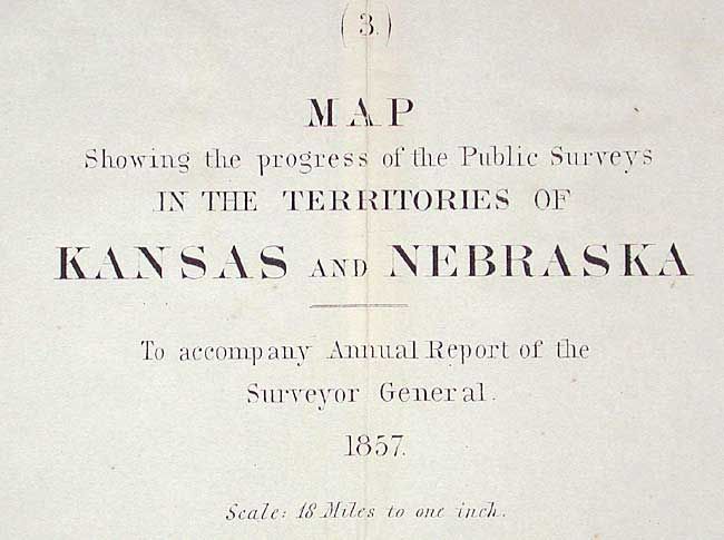
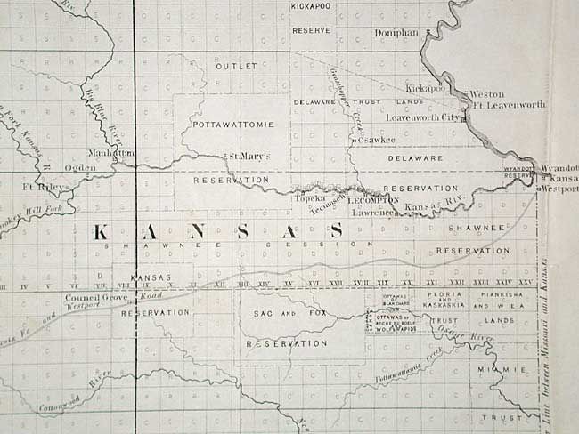
"Map showing the progress of the Public Surveys in the Territories of Kansas and Nebraska", U.S. Government

Subject: Kansas and Nebraska

Period: 1858 (published)

Publication:

Color: Black & White

Size:
17.4 x 23.6 inches
44.2 x 59.9 cm
Download High Resolution Image
(or just click on image to launch the Zoom viewer)

Prepared by Ward B. Burnett, Surveyor General, this is an early survey map with Indian lands, reservations and trusts clearly shown. The western border is well east of the present-day boundary. Early organization of townships with many blank or under contract for survey work, and roughly half marked as completed. Many Indian lands noted including Cherokee Neutral Lands, and reserves for various tribes: Osage, Sac and Fox, Kansas, Pottawattamie, Kickapoo, etc. All Indian areas are un-surveyed.

References: Baughman, pp. 72-3.

Condition: B

Some fold splits, one with some loss and paper repair on verso. One minor stain on lower portion. Still a better than average example for this map.

Estimate: $100 - $120

Unsold

Closed on 9/10/2003

Archived