Catalog Archive
Auction 104, Lot 177

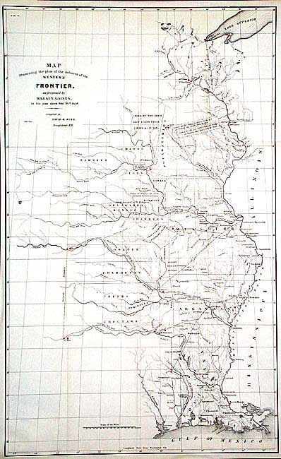
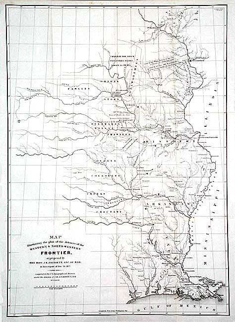
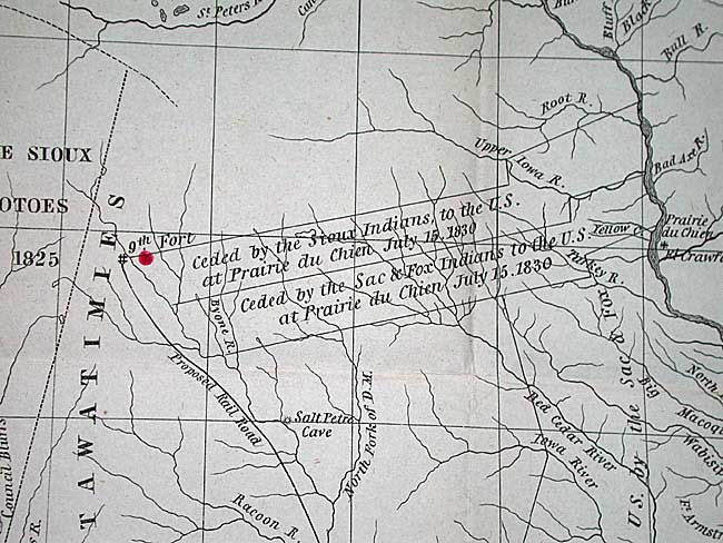
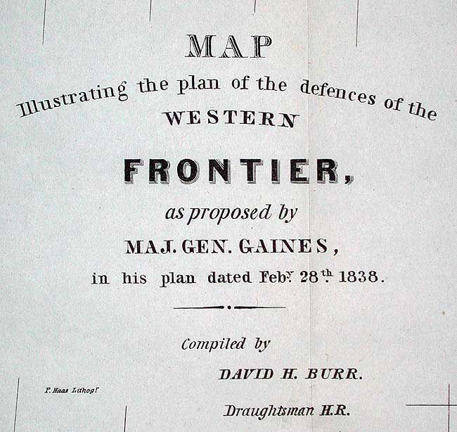
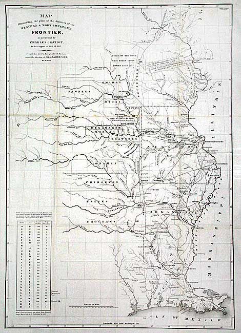
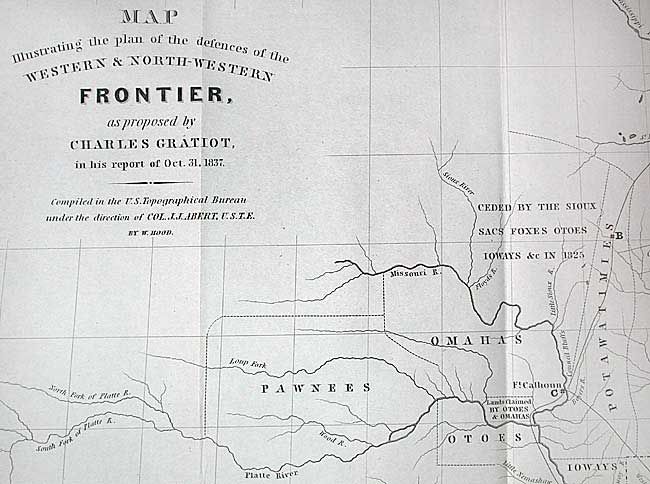
"[Lot of 3] Map Illustrating the plan of the defences of the Western & North-Western Frontier…", Various

Subject: United States - Central

Period: 1837-38 (dated)

Publication:

Color: Black & White

Size:
15.5 x 21.5 inches
39.4 x 54.6 cm
Download High Resolution Image
(or just click on image to launch the Zoom viewer)

Complete set of three maps that illustrate the Congressional debate over the nature of the Frontier Defenses between the Mississippi River and the Rocky Mountains. They were issued to illustrate the proposals of J.R. Poinsett, Charles Gratiot and General Edmund P. Gaines. Each map depicts the states of Missouri, Arkansas, Louisiana and Indian nations bordering them to the west showing the locations of many military forts and outposts from Ft. Jessup to Ft. Snelling with notations throughout concerning lands ceded by several Indian nations with dates of the treaties. The threat posed by hostile Indians whose numbers greatly exceeded those of the settlers in the area, resulted in a protracted Congressional debate concerning the defenses required along the frontier. Poinsett's plan is the least detailed. Gratiot’s plan uses color to trace the common roads and rivers and adds a table showing distances between forts and "days of march" at 15 miles per day. Gen. Gaines plan called for a system of military railroads that would permit the rapid movement of troops, not only between St. Louis and the frontier, but between Atlantic coastal forts and western frontier forts. In the 1830's this was a revolutionary idea, as railroads were in their infancy with only a few local lines connecting eastern cities. These maps are the original issues, (Senate Doc. 65, and House Doc. 311, 25th Congress, 2nd Session) and not to be confused with the re-issued versions from the American State Papers, circa 1860.

References: Wheat [TMW] #426, 427, & 432.

Condition: A+

Folded as issued.

Estimate: $850 - $1,000

Sold for: $535

Closed on 9/10/2003

Archived