Catalog Archive
Auction 104, Lot 157
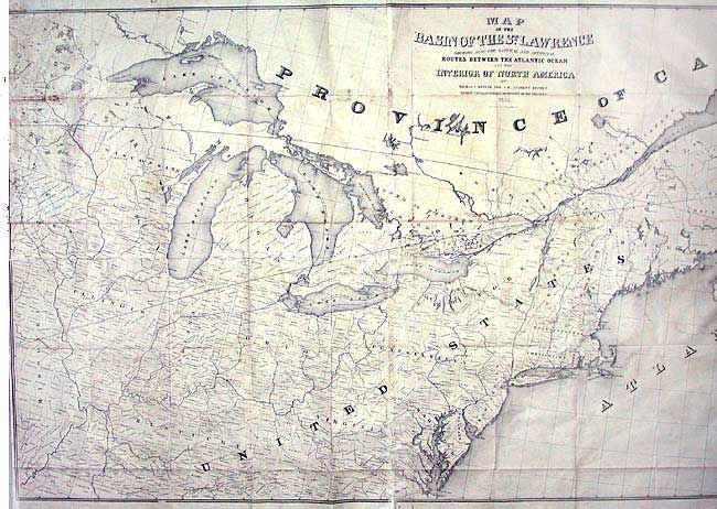
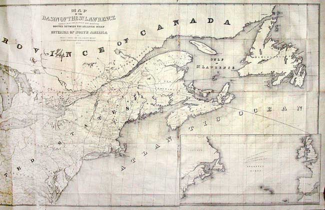
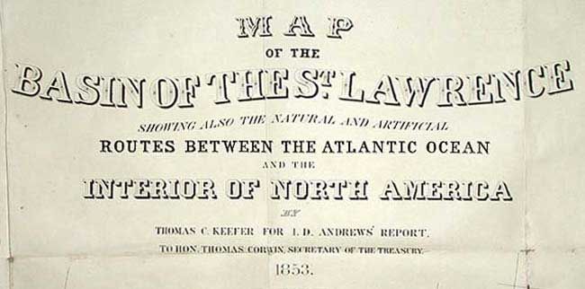
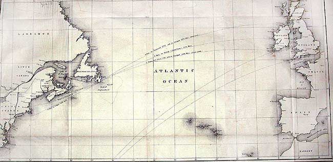
"Map of the Basin of the St. Lawrence showing also the Natural and Artificial Routes between the Atlantic Ocean and the Interior of North America", Andrews, Israel D.
1 of 4
Subject: Canada & United States
Period: 1852 (dated)
Publication: Communication from the Secretary of the Treasury…
Color: Black & White
Size:
75 x 35 inches
190.5 x 88.9 cm
Download High Resolution Image
(or just click on image to launch the Zoom viewer)
(or just click on image to launch the Zoom viewer)