Catalog Archive
Auction 104, Lot 152
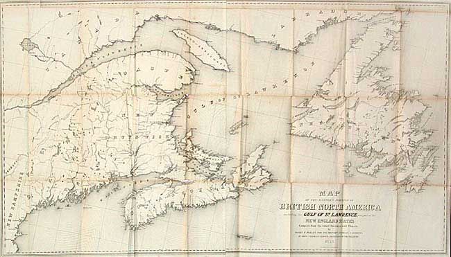
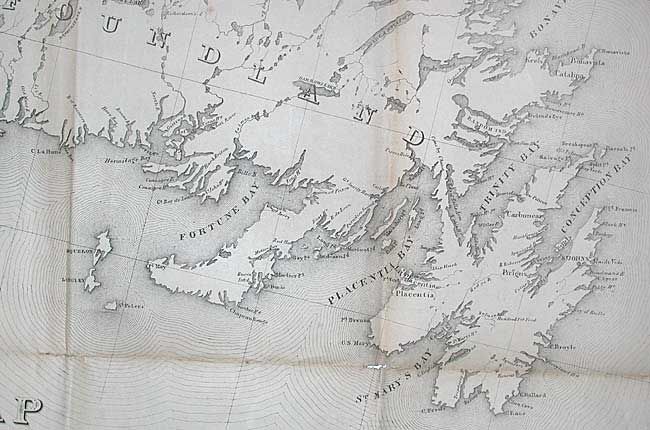
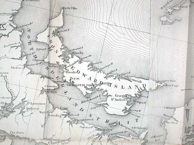
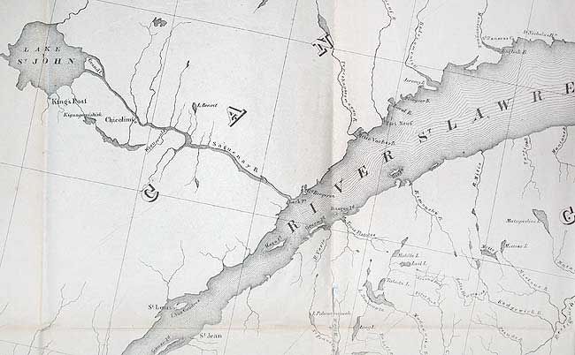
"Map of the Eastern Portion of British North America including the Gulf of St. Lawrence, and part of the New England States", Andrews, Israel D.
1 of 4
Subject: Canada
Period: 1853 (dated)
Publication: Communication from the Secretary of the Treasury…
Color: Black & White
Size:
45 x 25.5 inches
114.3 x 64.8 cm
Download High Resolution Image
(or just click on image to launch the Zoom viewer)
(or just click on image to launch the Zoom viewer)