Catalog Archive
Auction 104, Lot 123

"[Partie de L'Amerique Septentrionale…]", Bonne, Rigobert

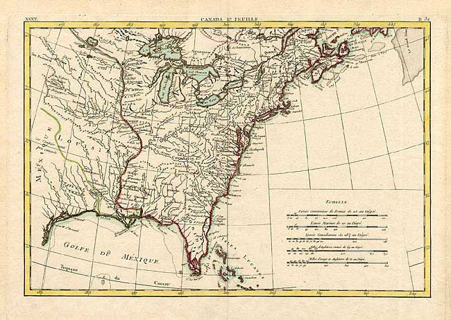
Subject: Colonial Midwest

Period: 1771 (dated)

Publication: Lattre's Atlas Moderne

Color: Hand Color

Size:
17.1 x 11.6 inches
43.4 x 29.5 cm
Download High Resolution Image
(or just click on image to launch the Zoom viewer)

Good map covering from the Great Lakes through the Gulf of Mexico. The British colonies extend to the Mississippi River, with French Louisiane sandwiched between them and Spanish controlled Mexique. This is the first state and the bottom sheet of a two-part map. The map is complete with borders and stands on its own without the Canadian part.

References: McCorkle #771.2.

Condition: A

Estimate: $250 - $300

Sold for: $275

Closed on 9/10/2003

Archived