Catalog Archive
Auction 104, Lot 121

"Canada, Louisiane, Possessions Angl?", Robert de Vaugondy, Didier

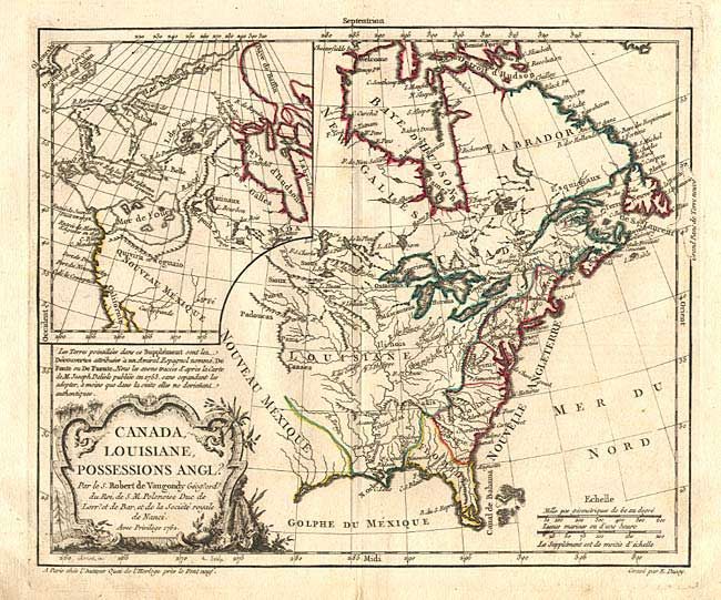
Subject: Colonial United States and Canada

Period: 1762 (dated)

Publication: Atlas Portatif

Color: Hand Color

Size:
11.4 x 9.5 inches
29 x 24.1 cm
Download High Resolution Image
(or just click on image to launch the Zoom viewer)

First state of this interesting map of the colonial possessions of England, France and Spain in North America. A large inset map covers the west coast and is most notable for its depiction of two remarkable cartographic misconceptions; a huge Mer de l' Ouest or Sea of the West and a Northwest Passage through a system of rivers and lakes connecting Hudson Bay with the Pacific based on the fictitious discoveries of Admiral de Font. Decorated with a fine title cartouche.

References: McCorkle, #762-3; Pedley, #449; Sellers & Van Ee #96.

Condition: A

Short separation on fold in bottom margin, with some minor soil.

Estimate: $300 - $350

Sold for: $220

Closed on 9/10/2003

Archived